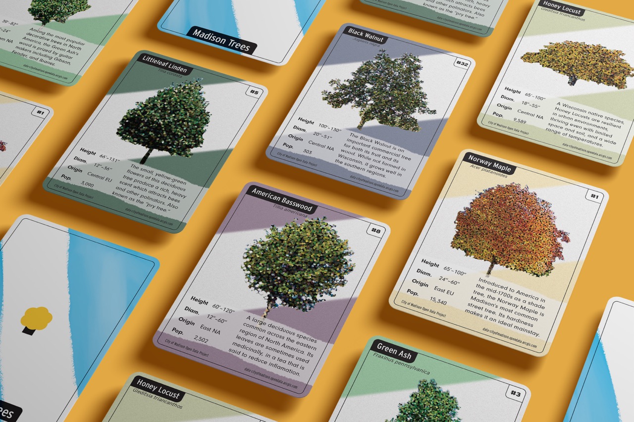
Madison Trees Trading Cards
This set of trading cards was born out of an earlier failed project. I did an independent study on Data Visualization in my second semester, and while I learned a lot, none of the designs I created for that project were salvageable. I still wanted to use the data set I had been studying—Madison’s publicly maintained street trees—so I decided to make some collectible trading cards using the data I had gotten so familiar with.
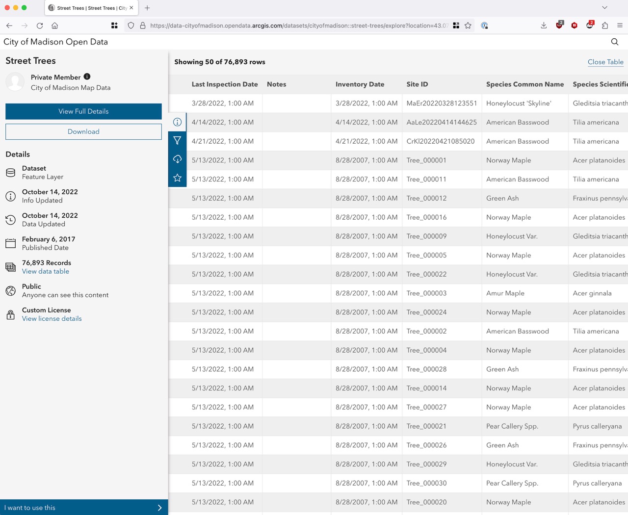
The city of Madison publishes a rich set of open data that they encourage citizens to use for their own purposes. For my second-semester data visualization project, I spent a long time perusing this database until finally landing on Street Trees as what I wanted to analyze.

Ultimately, that independent study was a great learning experience for me, and I came out of it knowing way more about data visualization and analysis than I did before, but my design chops weren’t yet up to the task of making something beautiful with what I’d learned.
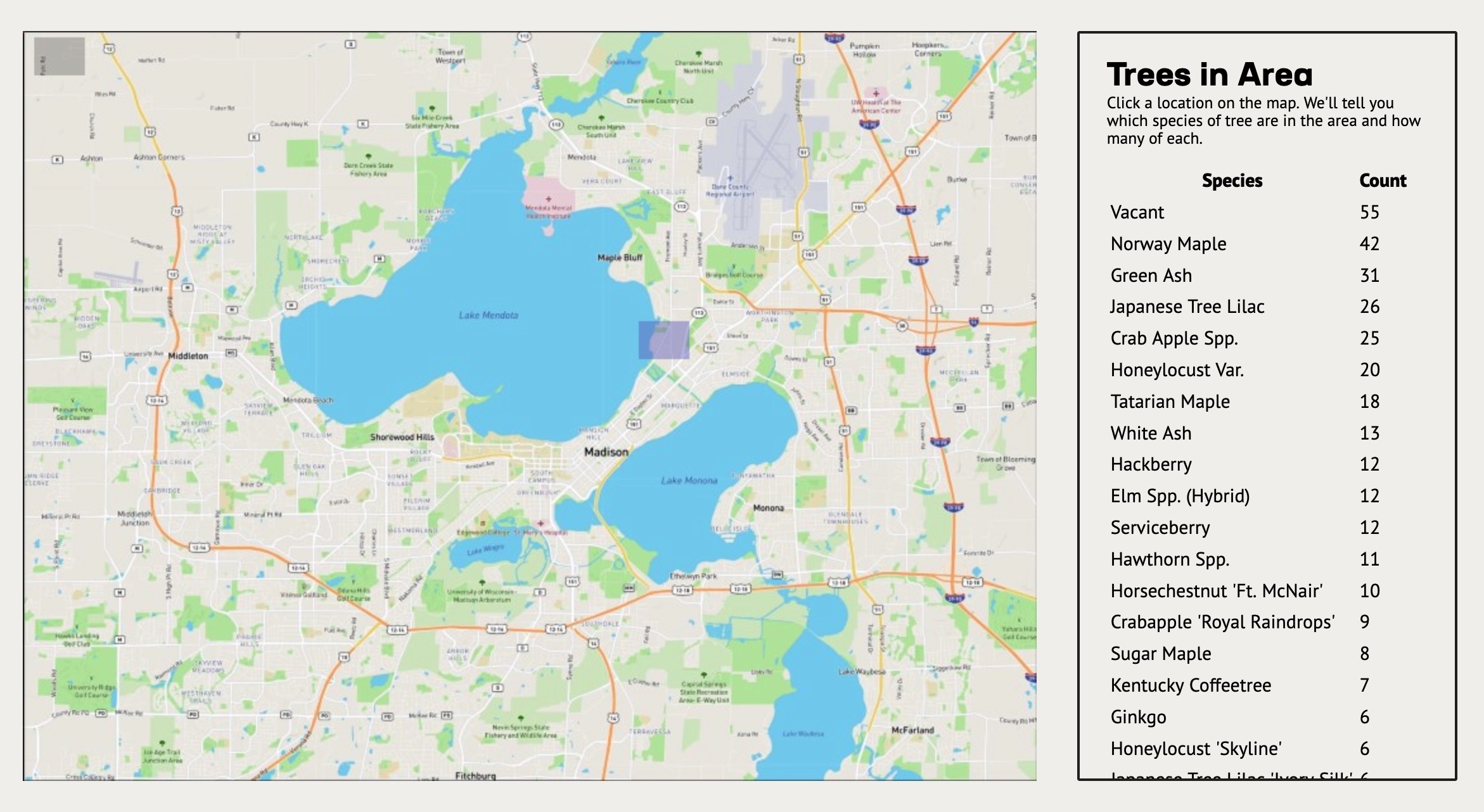
Here’s a screenshot of the best part of that project: an interactive map that shows you a list of how many of each type of tree lived in the area you selected.

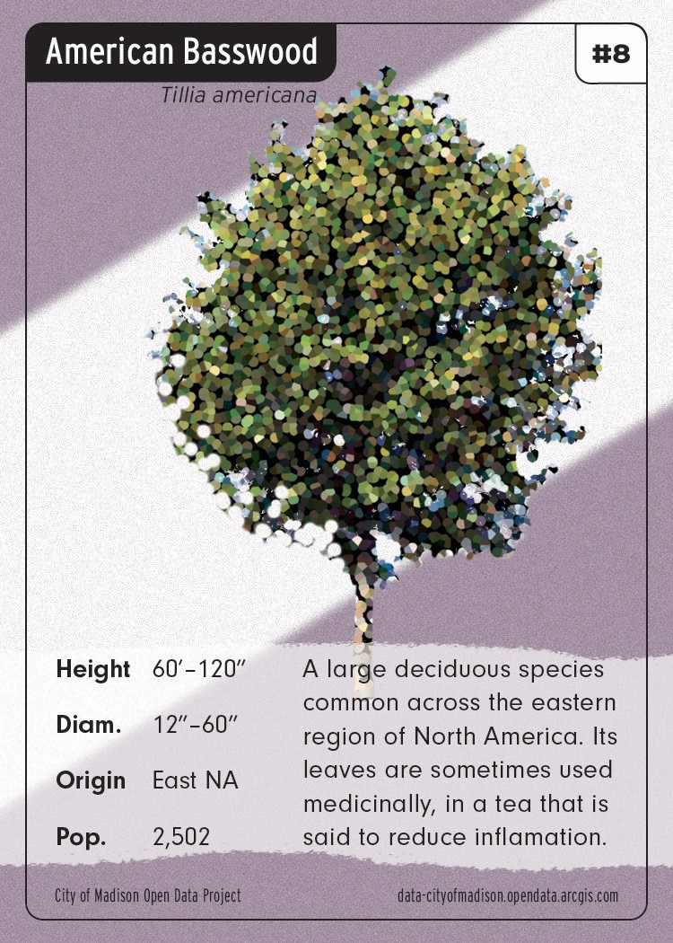
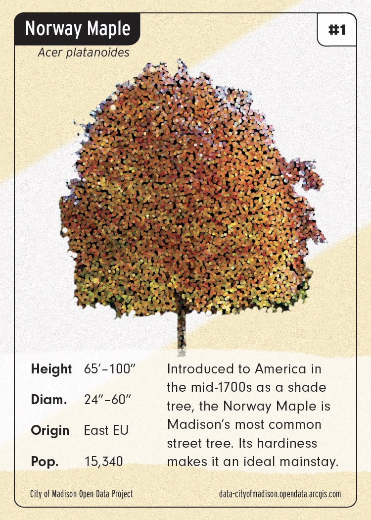
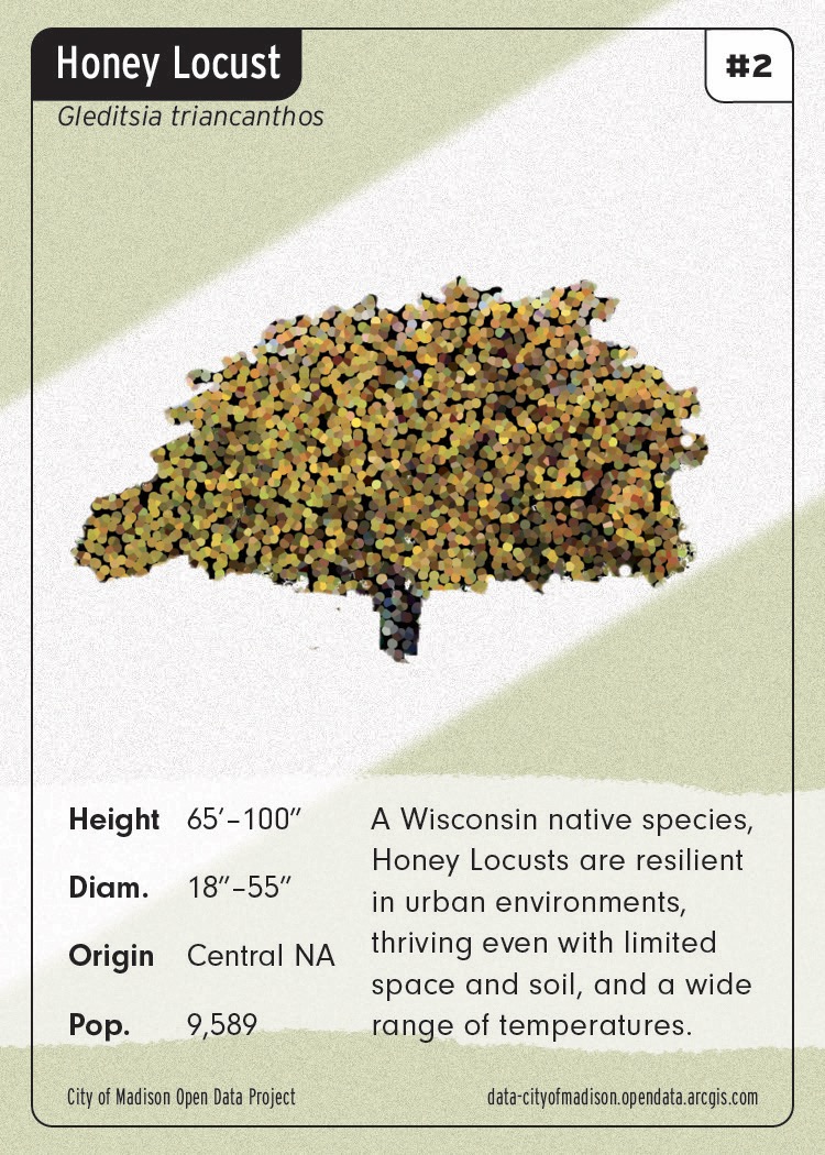
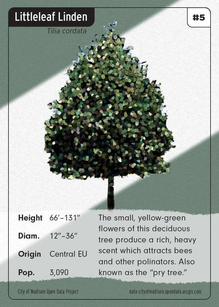
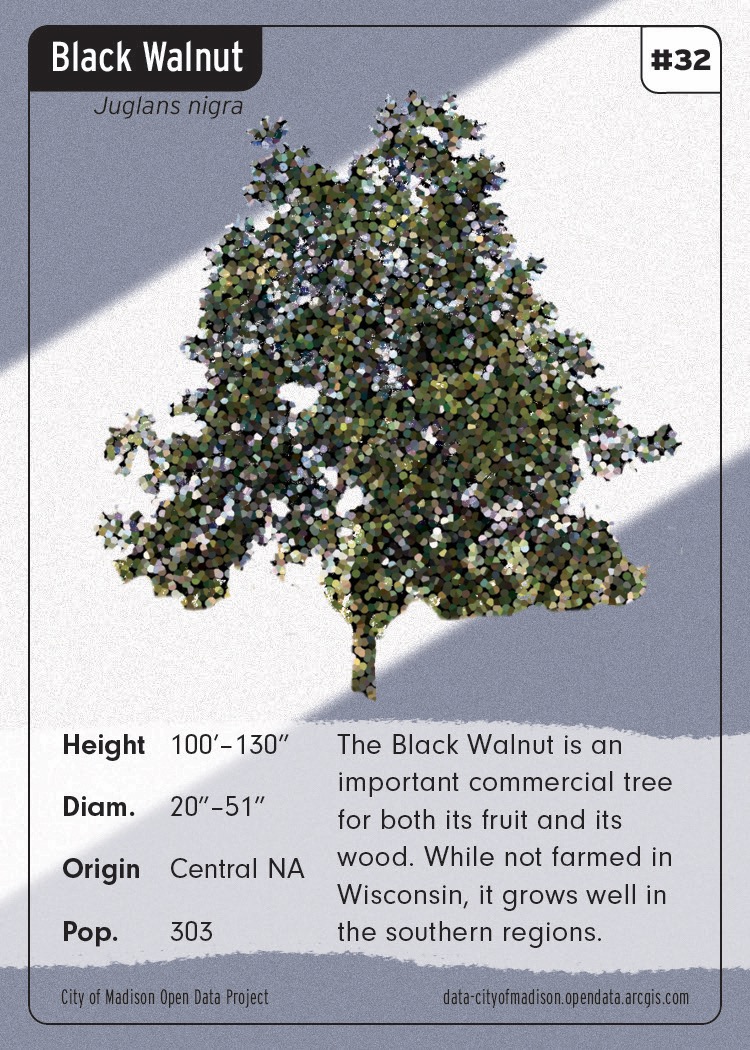
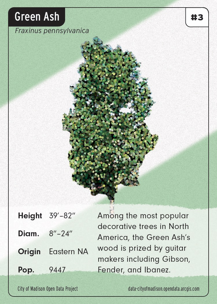
I don’t remember what originally gave me the idea of turning the trees data into a set of collectible trading cards, but it seemed like a perfect way to get something new out of this data I’d spent so much time with. I did some rudimentary data analysis to find stats that would be fun to include on some cards.
I wanted to include the Madison city flag in the design, so it appears on the card back as well as with modified colors as the background of each card face.